GEOMETRIA DE IMAGENS: DO PROJETO DO ... - mtc-m17:80 - Inpe
GEOMETRIA DE IMAGENS: DO PROJETO DO ... - mtc-m17:80 - Inpe
GEOMETRIA DE IMAGENS: DO PROJETO DO ... - mtc-m17:80 - Inpe
You also want an ePaper? Increase the reach of your titles
YUMPU automatically turns print PDFs into web optimized ePapers that Google loves.
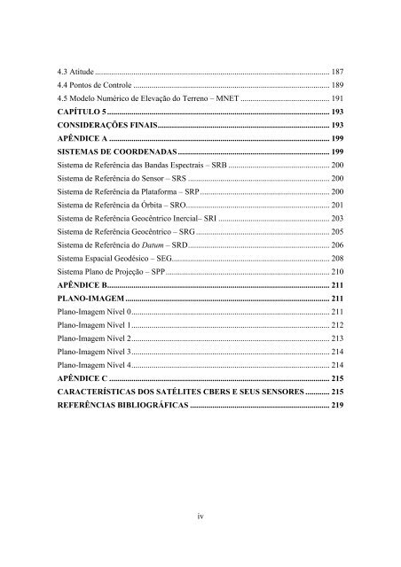
4.3 Atitude .................................................................................................................... 1874.4 Pontos de Controle ................................................................................................. 1894.5 Modelo Numérico de Elevação do Terreno – MNET ............................................ 191CAPÍTULO 5 .............................................................................................................. 193CONSI<strong>DE</strong>RAÇÕES FINAIS..................................................................................... 193APÊNDICE A ............................................................................................................. 199SISTEMAS <strong>DE</strong> COOR<strong>DE</strong>NADAS ........................................................................... 199Sistema de Referência das Bandas Espectrais – SRB .................................................. 200Sistema de Referência do Sensor – SRS ...................................................................... 200Sistema de Referência da Plataforma – SRP................................................................ 200Sistema de Referência da Órbita – SRO....................................................................... 201Sistema de Referência Geocêntrico Inercial– SRI ....................................................... 203Sistema de Referência Geocêntrico – SRG .................................................................. 205Sistema de Referência do Datum – SRD...................................................................... 206Sistema Espacial Geodésico – SEG.............................................................................. 208Sistema Plano de Projeção – SPP................................................................................. 210APÊNDICE B.............................................................................................................. 211PLANO-IMAGEM ..................................................................................................... 211Plano-Imagem Nível 0.................................................................................................. 211Plano-Imagem Nível 1.................................................................................................. 212Plano-Imagem Nível 2.................................................................................................. 213Plano-Imagem Nível 3.................................................................................................. 214Plano-Imagem Nível 4.................................................................................................. 214APÊNDICE C ............................................................................................................. 215CARACTERÍSTICAS <strong>DO</strong>S SATÉLITES CBERS E SEUS SENSORES ............ 215REFERÊNCIAS BIBLIOGRÁFICAS ..................................................................... 219iv


