TRD 05: Data Presentation techniques (Mapping) Quantum GIS ...
TRD 05: Data Presentation techniques (Mapping) Quantum GIS ...
TRD 05: Data Presentation techniques (Mapping) Quantum GIS ...
Create successful ePaper yourself
Turn your PDF publications into a flip-book with our unique Google optimized e-Paper software.
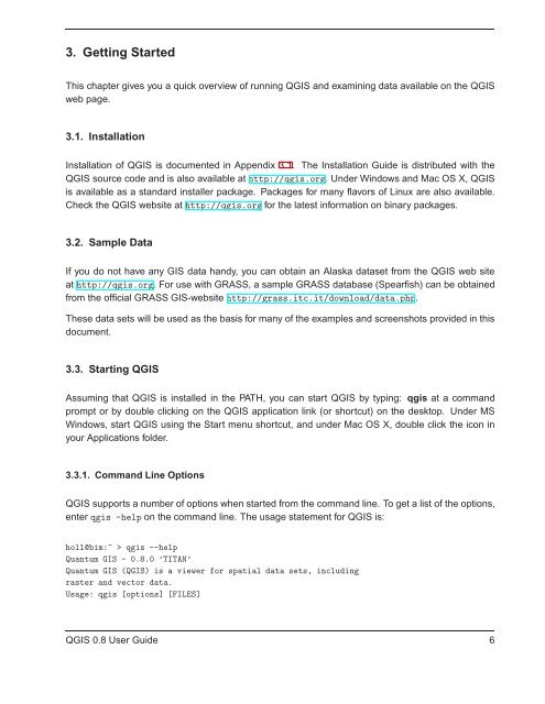
3. Getting Started<br />
This chapter gives you a quick overview of running Q<strong>GIS</strong> and examining data available on the Q<strong>GIS</strong><br />
web page.<br />
3.1. Installation<br />
Installation of Q<strong>GIS</strong> is documented in Appendix 3.1. The Installation Guide is distributed with the<br />
Q<strong>GIS</strong> source code and is also available at http://qgis.org. Under Windows and Mac OS X, Q<strong>GIS</strong><br />
is available as a standard installer package. Packages for many flavors of Linux are also available.<br />
Check the Q<strong>GIS</strong> website at http://qgis.org for the latest information on binary packages.<br />
3.2. Sample <strong>Data</strong><br />
If you do not have any <strong>GIS</strong> data handy, you can obtain an Alaska dataset from the Q<strong>GIS</strong> web site<br />
at http://qgis.org. For use with GRASS, a sample GRASS database (Spearfish) can be obtained<br />
from the official GRASS <strong>GIS</strong>-website http://grass.itc.it/download/data.php.<br />
These data sets will be used as the basis for many of the examples and screenshots provided in this<br />
document.<br />
3.3. Starting Q<strong>GIS</strong><br />
Assuming that Q<strong>GIS</strong> is installed in the PATH, you can start Q<strong>GIS</strong> by typing: qgis at a command<br />
prompt or by double clicking on the Q<strong>GIS</strong> application link (or shortcut) on the desktop. Under MS<br />
Windows, start Q<strong>GIS</strong> using the Start menu shortcut, and under Mac OS X, double click the icon in<br />
your Applications folder.<br />
3.3.1. Command Line Options<br />
Q<strong>GIS</strong> supports a number of options when started from the command line. To get a list of the options,<br />
enter qgis -help on the command line. The usage statement for Q<strong>GIS</strong> is:<br />
holl@bim:~ > qgis --help<br />
<strong>Quantum</strong> <strong>GIS</strong> - 0.8.0 ’TITAN’<br />
<strong>Quantum</strong> <strong>GIS</strong> (Q<strong>GIS</strong>) is a viewer for spatial data sets, including<br />
raster and vector data.<br />
Usage: qgis [options] [FILES]<br />
Q<strong>GIS</strong> 0.8 User Guide 6


