TRD 05: Data Presentation techniques (Mapping) Quantum GIS ...
TRD 05: Data Presentation techniques (Mapping) Quantum GIS ...
TRD 05: Data Presentation techniques (Mapping) Quantum GIS ...
You also want an ePaper? Increase the reach of your titles
YUMPU automatically turns print PDFs into web optimized ePapers that Google loves.
3.7 Projects<br />
3.7. Projects<br />
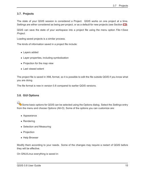
The state of your Q<strong>GIS</strong> session is considered a Project. Q<strong>GIS</strong> works on one project at a time.<br />
Settings are either considered as being per-project, or as a default for new projects (see Section 3.8).<br />
Q<strong>GIS</strong> can save the state of your workspace into a project file using the menu option File->Save<br />
Project.<br />
Loading saved projects is a similar process.<br />
The kinds of information saved in a project file include:<br />
• Layers added<br />
• Layer properties, including symbolization<br />
• Projection for the map view<br />
• Last viewed extent<br />
The project file is saved in XML format, so it is possible to edit the file outside Q<strong>GIS</strong> if you know what<br />
you are doing.<br />
The file format is new in version 0.8 compared to earlier Q<strong>GIS</strong> versions.<br />
3.8. GUI Options<br />
Some basic options for Q<strong>GIS</strong> can be selected using the Options dialog. Select the Settings entry<br />
from the menu and choose Options (Alt-O). Some of the options you can customize are:<br />
• Appearance<br />
• Rendering<br />
• Selection and Measuring<br />
• Projection<br />
• Help Browser<br />
Modify them according to your needs. Some of the changes may require a restart of Q<strong>GIS</strong> before<br />
they will be effective.<br />
On GNU/Linux everything is saved in:<br />
Q<strong>GIS</strong> 0.8 User Guide 15


