TRD 05: Data Presentation techniques (Mapping) Quantum GIS ...
TRD 05: Data Presentation techniques (Mapping) Quantum GIS ...
TRD 05: Data Presentation techniques (Mapping) Quantum GIS ...
Create successful ePaper yourself
Turn your PDF publications into a flip-book with our unique Google optimized e-Paper software.
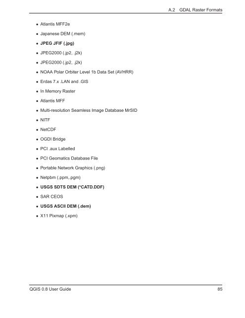
A.2 GDAL Raster Formats<br />
• Atlantis MFF2e<br />
• Japanese DEM (.mem)<br />
• JPEG JFIF (.jpg)<br />
• JPEG2000 (.jp2, .j2k)<br />
• JPEG2000 (.jp2, .j2k)<br />
• NOAA Polar Orbiter Level 1b <strong>Data</strong> Set (AVHRR)<br />
• Erdas 7.x .LAN and .<strong>GIS</strong><br />
• In Memory Raster<br />
• Atlantis MFF<br />
• Multi-resolution Seamless Image <strong>Data</strong>base MrSID<br />
• NITF<br />
• NetCDF<br />
• OGDI Bridge<br />
• PCI .aux Labelled<br />
• PCI Geomatics <strong>Data</strong>base File<br />
• Portable Network Graphics (.png)<br />
• Netpbm (.ppm,.pgm)<br />
• USGS SDTS DEM (*CATD.DDF)<br />
• SAR CEOS<br />
• USGS ASCII DEM (.dem)<br />
• X11 Pixmap (.xpm)<br />
Q<strong>GIS</strong> 0.8 User Guide 85


