TRD 05: Data Presentation techniques (Mapping) Quantum GIS ...
TRD 05: Data Presentation techniques (Mapping) Quantum GIS ...
TRD 05: Data Presentation techniques (Mapping) Quantum GIS ...
You also want an ePaper? Increase the reach of your titles
YUMPU automatically turns print PDFs into web optimized ePapers that Google loves.
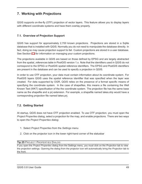
7. Working with Projections<br />
Q<strong>GIS</strong> supports on-the-fly (OTF) projection of vector layers. This feature allows you to display layers<br />
with different coordinate systems and have them overlay properly.<br />
7.1. Overview of Projection Support<br />
Q<strong>GIS</strong> has support for approximately 2,700 known projections. Projections are stored in a Sqlite<br />
database that is installed with Q<strong>GIS</strong>. Normally you do not need to manipulate the database directly. In<br />
fact, doing so may cause projection support to fail. Custom projections are stored in a user database.<br />
See Section 7.3 for information on managing your custom projections.<br />
The projections available in Q<strong>GIS</strong> are based on those defined by EPSG and are largely abstracted<br />
from the spatial_references table in Post<strong>GIS</strong> version 1.x. Note that the identifiers used in Q<strong>GIS</strong> do not<br />
correspond to the EPSG or Post<strong>GIS</strong> spatial reference identifiers. The EPSG and Post<strong>GIS</strong> identifiers<br />
are present in the database and can be used to specify a projection in Q<strong>GIS</strong>.<br />
In order to use OTF projection, your data must contain information about its coordinate system. For<br />
Post<strong>GIS</strong> layers Q<strong>GIS</strong> uses the spatial reference identifier that was specified when the layer was<br />
created. For data supported by OGR, Q<strong>GIS</strong> relies on the presence of a format specific means of<br />
specifying the coordinate system. In the case of shapefiles, this means a file containing the Well<br />
Known Text (WKT) specification of the the coordinate system. The projection file has the same base<br />
name as the shapefile and a prj extension. For example, a shapefile named lakes.shp would have a<br />
corresponding projection file named lakes.prj.<br />
7.2. Getting Started<br />
At startup, Q<strong>GIS</strong> does not have OTF projection enabled. To use OTF projection, you must open the<br />
Project Properties dialog, select a projection for the map, and enable projections. There are two ways<br />
to open the Project Properties dialog:<br />
1. Select Project Properties from the Settings menu<br />
2. Click on the projector icon in the lower right-hand corner of the statusbar<br />
Tip 25 PROJECT PROPERTIES DIALOG<br />
If you open the Project Properties dialog from the Settings menu, you must click on the Projection tab to view<br />
the projection settings. Opening the dialog from the projector icon will automatically bring the Projection tab to<br />
the front.<br />
Q<strong>GIS</strong> 0.8 User Guide 49


