TRD 05: Data Presentation techniques (Mapping) Quantum GIS ...
TRD 05: Data Presentation techniques (Mapping) Quantum GIS ...
TRD 05: Data Presentation techniques (Mapping) Quantum GIS ...
Create successful ePaper yourself
Turn your PDF publications into a flip-book with our unique Google optimized e-Paper software.
3.4 Q<strong>GIS</strong> GUI<br />
4. Map view<br />
5. Map overview<br />
6. Status bar<br />
These six components of the Q<strong>GIS</strong> interface are described in more detail in the following sections.<br />
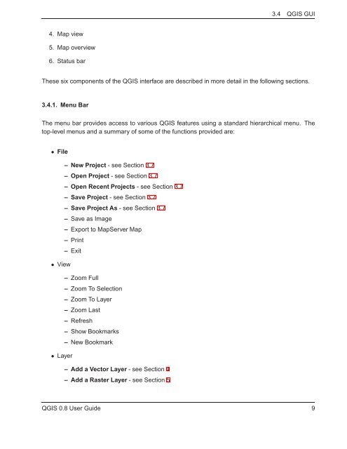
3.4.1. Menu Bar<br />
The menu bar provides access to various Q<strong>GIS</strong> features using a standard hierarchical menu. The<br />
top-level menus and a summary of some of the functions provided are:<br />
• File<br />
– New Project - see Section 3.7<br />
– Open Project - see Section 3.7<br />
– Open Recent Projects - see Section 3.7<br />
– Save Project - see Section 3.7<br />
– Save Project As - see Section 3.7<br />
– Save as Image<br />
– Export to MapServer Map<br />
– Print<br />
– Exit<br />
• View<br />
– Zoom Full<br />
– Zoom To Selection<br />
– Zoom To Layer<br />
– Zoom Last<br />
– Refresh<br />
– Show Bookmarks<br />
– New Bookmark<br />
• Layer<br />
– Add a Vector Layer - see Section 4<br />
– Add a Raster Layer - see Section 5<br />
Q<strong>GIS</strong> 0.8 User Guide 9


