TRD 05: Data Presentation techniques (Mapping) Quantum GIS ...
TRD 05: Data Presentation techniques (Mapping) Quantum GIS ...
TRD 05: Data Presentation techniques (Mapping) Quantum GIS ...
Create successful ePaper yourself
Turn your PDF publications into a flip-book with our unique Google optimized e-Paper software.
6.2 WMS Client<br />
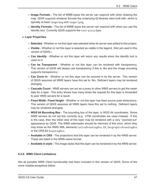
– Image Formats - The list of MIME-types the server can respond with when drawing the<br />
map. Q<strong>GIS</strong> supports whatever formats the underlying Qt libraries were built with, which is<br />
typically at least image/png and image/jpeg.<br />
– Identity Formats - The list of MIME-types the server can respond with when you use the<br />
Identify tool. Currently Q<strong>GIS</strong> supports the text-plain type.<br />
• Layer Properties<br />
– Selected - Whether or not this layer was selected when its server was added to this project.<br />
– Visible - Whether or not this layer is selected as visible in the legend. (Not yet used in this<br />
version of Q<strong>GIS</strong>.)<br />
– Can Identify - Whether or not this layer will return any results when the Identify tool is<br />
used on it.<br />
– Can be Transparent - Whether or not this layer can be rendered with transparency.<br />
This version of Q<strong>GIS</strong> will always use transparency if this is Yes and the image encoding<br />
supports transparency .<br />
– Can Zoom In - Whether or not this layer can be zoomed in by the server. This version<br />
of Q<strong>GIS</strong> assumes all WMS layers have this set to Yes. Deficient layers may be rendered<br />
strangely.<br />
– Cascade Count - WMS servers can act as a proxy to other WMS servers to get the raster<br />
data for a layer. This entry shows how many times the request for this layer is forwarded<br />
to peer WMS servers for a result.<br />
– Fixed Width, Fixed Height - Whether or not this layer has fixed source pixel dimensions.<br />
This version of Q<strong>GIS</strong> assumes all WMS layers have this set to nothing. Deficient layers<br />
may be rendered strangely.<br />
– WGS 84 Bounding Box - The bounding box of the layer, in WGS 84 coordinates. Some<br />
WMS servers do not set this correctly (e.g. UTM coordinates are used instead). If this<br />
is the case, then the initial view of this layer may be rendered with a very “zoomed-out”<br />
appearance by Q<strong>GIS</strong>. The WMS webmaster should be informed of this error, which they<br />
may know as the WMS XML elements LatLonBoundingBox,EX_GeographicBoundingBox<br />
or the CRS:84 BoundingBox.<br />
– Available in CRS - The projections that this layer can be rendered in by the WMS server.<br />
These are listed in the WMS-native format.<br />
– Available in style - The image styles that this layer can be rendered in by the WMS server.<br />
6.2.6. WMS Client Limitations<br />
Not all possible WMS Client functionality had been included in this version of Q<strong>GIS</strong>. Some of the<br />
more notable exceptions follow:<br />
Q<strong>GIS</strong> 0.8 User Guide 47


