TRD 05: Data Presentation techniques (Mapping) Quantum GIS ...
TRD 05: Data Presentation techniques (Mapping) Quantum GIS ...
TRD 05: Data Presentation techniques (Mapping) Quantum GIS ...
You also want an ePaper? Increase the reach of your titles
YUMPU automatically turns print PDFs into web optimized ePapers that Google loves.
4.5 Editing<br />
4.4.2. Using Actions<br />
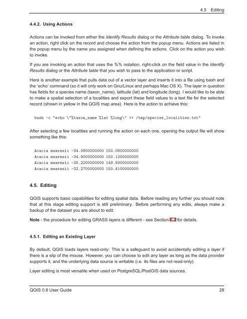
Actions can be invoked from either the Identify Results dialog or the Attribute table dialog. To invoke<br />
an action, right click on the record and choose the action from the popup menu. Actions are listed in<br />
the popup menu by the name you assigned when defining the actions. Click on the action you wish<br />
to invoke.<br />
If you are invoking an action that uses the %% notation, right-click on the field value in the Identify<br />
Results dialog or the Attribute table that you wish to pass to the application or script.<br />
Here is another example that pulls data out of a vector layer and inserts it into a file using bash and<br />
the ‘echo’ command (so it will only work on Gnu/Linux and perhaps Mac OS X). The layer in question<br />
has fields for a species name (taxon_name), latitude (lat) and longitude (long). I would like to be able<br />
to make a spatial selection of a localities and export these field values to a text file for the selected<br />
record (shown in yellow in the Q<strong>GIS</strong> map area). Here is the action to achieve this:<br />
bash -c "echo \"%taxon_name %lat %long\" >> /tmp/species_localities.txt"<br />
After selecting a few localities and running the action on each one, opening the output file will show<br />
something like this:<br />
Acacia mearnsii -34.0800000000 150.0800000000<br />
Acacia mearnsii -34.9000000000 150.1200000000<br />
Acacia mearnsii -35.2200000000 149.9300000000<br />
Acacia mearnsii -32.2700000000 150.4100000000<br />
4.5. Editing<br />
Q<strong>GIS</strong> supports basic capabilities for editing spatial data. Before reading any further you should note<br />
that at this stage editing support is still preliminary. Before performing any edits, always make a<br />
backup of the dataset you are about to edit.<br />
Note - the procedure for editing GRASS layers is different - see Section 8.4 for details.<br />
4.5.1. Editing an Existing Layer<br />
By default, Q<strong>GIS</strong> loads layers read-only: This is a safeguard to avoid accidentally editing a layer if<br />
there is a slip of the mouse. However, you can choose to edit any layer as long as the data provider<br />
supports it, and the underlying data source is writable (i.e. its files are not read-only).<br />
Layer editing is most versatile when used on PostgreSQL/Post<strong>GIS</strong> data sources.<br />
Q<strong>GIS</strong> 0.8 User Guide 28


