

TRD 05: Data Presentation techniques (Mapping) Quantum GIS ...
TRD 05: Data Presentation techniques (Mapping) Quantum GIS ...
TRD 05: Data Presentation techniques (Mapping) Quantum GIS ...

Create successful ePaper yourself
Turn your PDF publications into a flip-book with our unique Google optimized e-Paper software.
8.7 Creating new vectors<br />
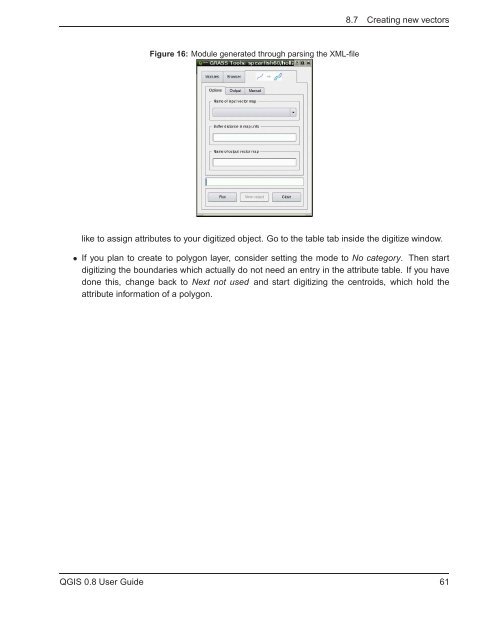
Figure 16: Module generated through parsing the XML-file<br />
like to assign attributes to your digitized object. Go to the table tab inside the digitize window.<br />
• If you plan to create to polygon layer, consider setting the mode to No category. Then start<br />
digitizing the boundaries which actually do not need an entry in the attribute table. If you have<br />
done this, change back to Next not used and start digitizing the centroids, which hold the<br />
attribute information of a polygon.<br />
Q<strong>GIS</strong> 0.8 User Guide 61


