TRD 05: Data Presentation techniques (Mapping) Quantum GIS ...
TRD 05: Data Presentation techniques (Mapping) Quantum GIS ...
TRD 05: Data Presentation techniques (Mapping) Quantum GIS ...
Create successful ePaper yourself
Turn your PDF publications into a flip-book with our unique Google optimized e-Paper software.
4.2 Post<strong>GIS</strong> Layers<br />
SPIT Plugin<br />
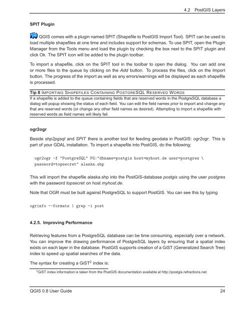
Q<strong>GIS</strong> comes with a plugin named SPIT (Shapefile to Post<strong>GIS</strong> Import Tool). SPIT can be used to<br />
load multiple shapefiles at one time and includes support for schemas. To use SPIT, open the Plugin<br />
Manager from the Tools menu and load the plugin by checking the box next to the SPIT plugin and<br />
click Ok. The SPIT icon will be added to the plugin toolbar.<br />
To import a shapefile, click on the SPIT tool in the toolbar to open the dialog. You can add one<br />
or more files to the queue by clicking on the Add button. To process the files, click on the Import<br />
button. The progress of the import as well as any errors/warnings will be displayed as each shapefile<br />
is processed.<br />
Tip 8 IMPORTING SHAPEFILES CONTAINING POSTGRESQL RESERVED WORDS<br />
If a shapefile is added to the queue containing fields that are reserved words in the PostgreSQL database a<br />
dialog will popup showing the status of each field. You can edit the field names prior to import and change any<br />
that are reserved words (or change any other field names as desired). Attempting to import a shapefile with<br />
reserved words as field names will likely fail.<br />
ogr2ogr<br />
Beside shp2pgsql and SPIT there is another tool for feeding geodata in Post<strong>GIS</strong>: ogr2ogr. This is<br />
part of your GDAL installation. To import a shapefile into Post<strong>GIS</strong>, do the following:<br />
ogr2ogr -f "PostgreSQL" PG:"dbname=postgis host=myhost.de user=postgres \<br />
password=topsecret" alaska.shp<br />
This will import the shapefile alaska.shp into the Post<strong>GIS</strong>-database postgis using the user postgres<br />
with the password topsecret on host myhost.de.<br />
Note that OGR must be built against PostgreSQL to support Post<strong>GIS</strong>. You can see this by typing<br />
ogrinfo --formats | grep -i post<br />
4.2.5. Improving Performance<br />
Retrieving features from a PostgreSQL database can be time consuming, especially over a network.<br />
You can improve the drawing performance of PostgreSQL layers by ensuring that a spatial index<br />
exists on each layer in the database. Post<strong>GIS</strong> supports creation of a GiST (Generalized Search Tree)<br />
index to speed up spatial searches of the data.<br />
The syntax for creating a GiST 2 index is:<br />
2 GiST index information is taken from the Post<strong>GIS</strong> documentation available at http://postgis.refractions.net<br />
Q<strong>GIS</strong> 0.8 User Guide 24


