TRD 05: Data Presentation techniques (Mapping) Quantum GIS ...
TRD 05: Data Presentation techniques (Mapping) Quantum GIS ...
TRD 05: Data Presentation techniques (Mapping) Quantum GIS ...
You also want an ePaper? Increase the reach of your titles
YUMPU automatically turns print PDFs into web optimized ePapers that Google loves.
7.3 Custom Projections<br />
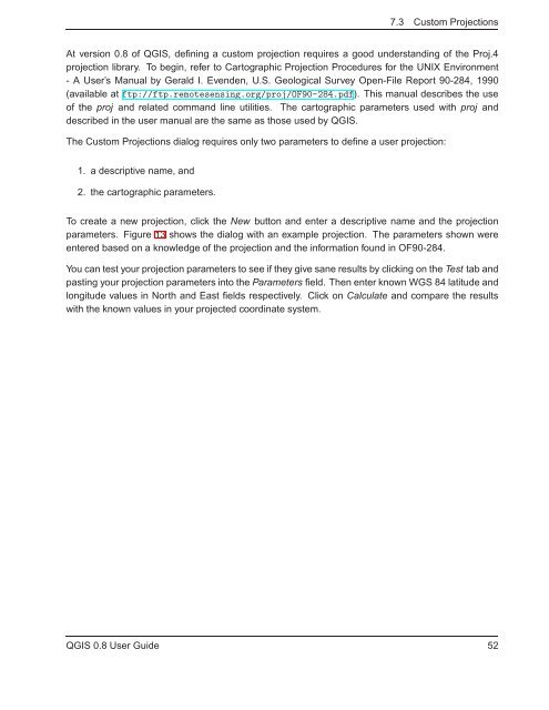
At version 0.8 of Q<strong>GIS</strong>, defining a custom projection requires a good understanding of the Proj.4<br />
projection library. To begin, refer to Cartographic Projection Procedures for the UNIX Environment<br />
- A User’s Manual by Gerald I. Evenden, U.S. Geological Survey Open-File Report 90-284, 1990<br />
(available at ftp://ftp.remotesensing.org/proj/OF90-284.pdf). This manual describes the use<br />
of the proj and related command line utilities. The cartographic parameters used with proj and<br />
described in the user manual are the same as those used by Q<strong>GIS</strong>.<br />
The Custom Projections dialog requires only two parameters to define a user projection:<br />
1. a descriptive name, and<br />
2. the cartographic parameters.<br />
To create a new projection, click the New button and enter a descriptive name and the projection<br />
parameters. Figure 13 shows the dialog with an example projection. The parameters shown were<br />
entered based on a knowledge of the projection and the information found in OF90-284.<br />
You can test your projection parameters to see if they give sane results by clicking on the Test tab and<br />
pasting your projection parameters into the Parameters field. Then enter known WGS 84 latitude and<br />
longitude values in North and East fields respectively. Click on Calculate and compare the results<br />
with the known values in your projected coordinate system.<br />
Q<strong>GIS</strong> 0.8 User Guide 52


