TRD 05: Data Presentation techniques (Mapping) Quantum GIS ...
TRD 05: Data Presentation techniques (Mapping) Quantum GIS ...
TRD 05: Data Presentation techniques (Mapping) Quantum GIS ...
You also want an ePaper? Increase the reach of your titles
YUMPU automatically turns print PDFs into web optimized ePapers that Google loves.
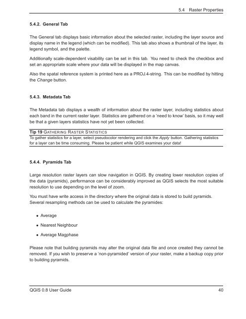
5.4 Raster Properties<br />
5.4.2. General Tab<br />
The General tab displays basic information about the selected raster, including the layer source and<br />
display name in the legend (which can be modified). This tab also shows a thumbnail of the layer, its<br />
legend symbol, and the palette.<br />
Additionally scale-dependent visability can be set in this tab. You need to check the checkbox and<br />
set an appropriate scale where your data will be displayed in the map canvas.<br />
Also the spatal reference system is printed here as a PROJ.4-string. This can be modified by hitting<br />
the Change button.<br />
5.4.3. Metadata Tab<br />
The Metadata tab displays a wealth of information about the raster layer, including statistics about<br />
each band in the current raster layer. Statistics are gathered on a ’need to know’ basis, so it may well<br />
be that a given layers statistics have not yet been collected.<br />
Tip 19 GATHERING RASTER STATISTICS<br />
To gather statistics for a layer, select pseudocolor rendering and click the Apply button. Gathering statistics<br />
for a layer can be time consuming. Please be patient while Q<strong>GIS</strong> examines your data!<br />
5.4.4. Pyramids Tab<br />
Large resolution raster layers can slow navigation in Q<strong>GIS</strong>. By creating lower resolution copies of<br />
the data (pyramids), performance can be considerably improved as Q<strong>GIS</strong> selects the most suitable<br />
resolution to use depending on the level of zoom.<br />
You must have write access in the directory where the original data is stored to build pyramids.<br />
Several resampling methods can be used to calculate the pyramides:<br />
• Average<br />
• Nearest Neighbour<br />
• Average Magphase<br />
Please note that building pyramids may alter the original data file and once created they cannot be<br />
removed. If you wish to preserve a ’non-pyramided’ version of your raster, make a backup copy prior<br />
to building pyramids.<br />
Q<strong>GIS</strong> 0.8 User Guide 40


