Program Delivery Plan
Program Delivery Plan - Baton Rouge Department of Public Works ...
Program Delivery Plan - Baton Rouge Department of Public Works ...
- No tags were found...
You also want an ePaper? Increase the reach of your titles
YUMPU automatically turns print PDFs into web optimized ePapers that Google loves.
SECTION 3. SOUTH BASIN PROJECTS<br />
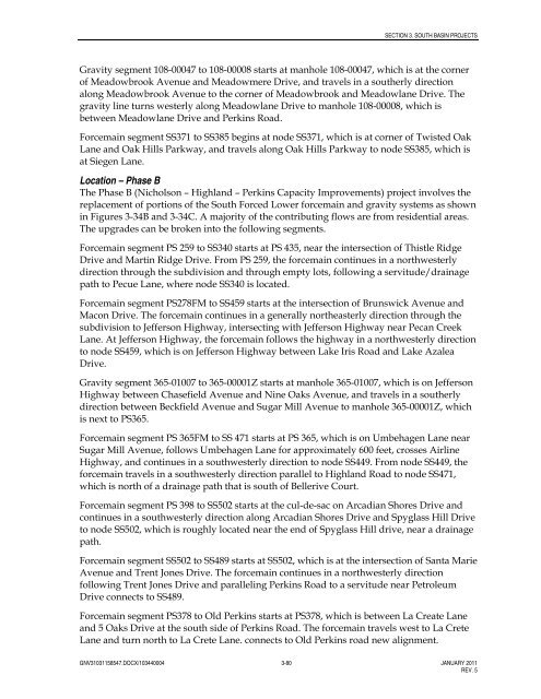
Gravity segment 108-00047 to 108-00008 starts at manhole 108-00047, which is at the corner<br />
of Meadowbrook Avenue and Meadowmere Drive, and travels in a southerly direction<br />
along Meadowbrook Avenue to the corner of Meadowbrook and Meadowlane Drive. The<br />
gravity line turns westerly along Meadowlane Drive to manhole 108-00008, which is<br />
between Meadowlane Drive and Perkins Road.<br />
Forcemain segment SS371 to SS385 begins at node SS371, which is at corner of Twisted Oak<br />
Lane and Oak Hills Parkway, and travels along Oak Hills Parkway to node SS385, which is<br />
at Siegen Lane.<br />
Location – Phase B<br />
The Phase B (Nicholson – Highland – Perkins Capacity Improvements) project involves the<br />
replacement of portions of the South Forced Lower forcemain and gravity systems as shown<br />
in Figures 3-34B and 3-34C. A majority of the contributing flows are from residential areas.<br />
The upgrades can be broken into the following segments.<br />
Forcemain segment PS 259 to SS340 starts at PS 435, near the intersection of Thistle Ridge<br />
Drive and Martin Ridge Drive. From PS 259, the forcemain continues in a northwesterly<br />
direction through the subdivision and through empty lots, following a servitude/drainage<br />
path to Pecue Lane, where node SS340 is located.<br />
Forcemain segment PS278FM to SS459 starts at the intersection of Brunswick Avenue and<br />
Macon Drive. The forcemain continues in a generally northeasterly direction through the<br />
subdivision to Jefferson Highway, intersecting with Jefferson Highway near Pecan Creek<br />
Lane. At Jefferson Highway, the forcemain follows the highway in a northwesterly direction<br />
to node SS459, which is on Jefferson Highway between Lake Iris Road and Lake Azalea<br />
Drive.<br />
Gravity segment 365-01007 to 365-00001Z starts at manhole 365-01007, which is on Jefferson<br />
Highway between Chasefield Avenue and Nine Oaks Avenue, and travels in a southerly<br />
direction between Beckfield Avenue and Sugar Mill Avenue to manhole 365-00001Z, which<br />
is next to PS365.<br />
Forcemain segment PS 365FM to SS 471 starts at PS 365, which is on Umbehagen Lane near<br />
Sugar Mill Avenue, follows Umbehagen Lane for approximately 600 feet, crosses Airline<br />
Highway, and continues in a southwesterly direction to node SS449. From node SS449, the<br />
forcemain travels in a southwesterly direction parallel to Highland Road to node SS471,<br />
which is north of a drainage path that is south of Bellerive Court.<br />
Forcemain segment PS 398 to SS502 starts at the cul-de-sac on Arcadian Shores Drive and<br />
continues in a southwesterly direction along Arcadian Shores Drive and Spyglass Hill Drive<br />
to node SS502, which is roughly located near the end of Spyglass Hill drive, near a drainage<br />
path.<br />
Forcemain segment SS502 to SS489 starts at SS502, which is at the intersection of Santa Marie<br />
Avenue and Trent Jones Drive. The forcemain continues in a northwesterly direction<br />
following Trent Jones Drive and paralleling Perkins Road to a servitude near Petroleum<br />
Drive connects to SS489.<br />
Forcemain segment PS378 to Old Perkins starts at PS378, which is between La Create Lane<br />
and 5 Oaks Drive at the south side of Perkins Road. The forcemain travels west to La Crete<br />
Lane and turn north to La Crete Lane. connects to Old Perkins road new alignment.<br />
GNV31031158547.DOCX/103440004 3-80 JANUARY 2011<br />
REV. 5


