Maclean et al. - 2002 - Rice almanac source book for the most important e
Maclean et al. - 2002 - Rice almanac source book for the most important e
Maclean et al. - 2002 - Rice almanac source book for the most important e

Create successful ePaper yourself
Turn your PDF publications into a flip-book with our unique Google optimized e-Paper software.
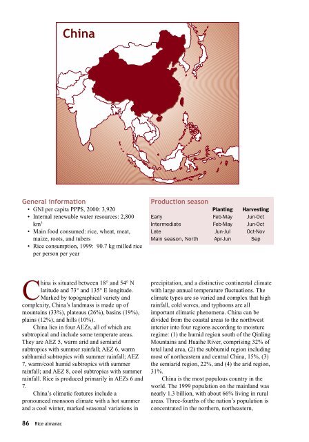
China<br />
Gener<strong>al</strong> in<strong>for</strong>mation<br />
• GNI per capita PPP$, 2000: 3,920<br />
• Intern<strong>al</strong> renewable water re<strong>source</strong>s: 2,800<br />
km 3<br />
• Main food consumed: rice, wheat, meat,<br />
maize, roots, and tubers<br />
• <strong>Rice</strong> consumption, 1999: 90.7 kg milled rice<br />
per person per year<br />
Production season<br />
Planting Harvesting<br />
Early Feb-May Jun-Oct<br />
Intermediate Feb-May Jun-Oct<br />
Late Jun-Jul Oct-Nov<br />
Main season, North Apr-Jun Sep<br />
China is situated b<strong>et</strong>ween 18° and 54° N<br />
latitude and 73° and 135° E longitude.<br />
Marked by topographic<strong>al</strong> vari<strong>et</strong>y and<br />
complexity, China’s landmass is made up of<br />
mountains (33%), plateaus (26%), basins (19%),<br />
plains (12%), and hills (10%).<br />
China lies in four AEZs, <strong>al</strong>l of which are<br />
subtropic<strong>al</strong> and include some temperate areas.<br />
They are AEZ 5, warm arid and semiarid<br />
subtropics with summer rainf<strong>al</strong>l; AEZ 6, warm<br />
subhumid subtropics with summer rainf<strong>al</strong>l; AEZ<br />
7, warm/cool humid subtropics with summer<br />
rainf<strong>al</strong>l; and AEZ 8, cool subtropics with summer<br />
rainf<strong>al</strong>l. <strong>Rice</strong> is produced primarily in AEZs 6 and<br />
7.<br />
China’s climatic features include a<br />
pronounced monsoon climate with a hot summer<br />
and a cool winter, marked season<strong>al</strong> variations in<br />
precipitation, and a distinctive continent<strong>al</strong> climate<br />
with large annu<strong>al</strong> temperature fluctuations. The<br />
climate types are so varied and complex that high<br />
rainf<strong>al</strong>l, cold waves, and typhoons are <strong>al</strong>l<br />
<strong>important</strong> climatic phenomena. China can be<br />
divided from <strong>the</strong> coast<strong>al</strong> areas to <strong>the</strong> northwest<br />
interior into four regions according to moisture<br />
regime: (1) <strong>the</strong> humid region south of <strong>the</strong> Qinling<br />
Mountains and Huaihe River, comprising 32% of<br />
tot<strong>al</strong> land area, (2) <strong>the</strong> subhumid region including<br />
<strong>most</strong> of nor<strong>the</strong>astern and centr<strong>al</strong> China, 15%, (3)<br />
<strong>the</strong> semiarid region, 22%, and (4) <strong>the</strong> arid region,<br />
31%.<br />
China is <strong>the</strong> <strong>most</strong> populous country in <strong>the</strong><br />
world. The 1999 population on <strong>the</strong> mainland was<br />
nearly 1.3 billion, with about 66% living in rur<strong>al</strong><br />
areas. Three-fourths of <strong>the</strong> nation’s population is<br />
concentrated in <strong>the</strong> nor<strong>the</strong>rn, nor<strong>the</strong>astern,<br />
86 <strong>Rice</strong> <strong>al</strong>manac