Maclean et al. - 2002 - Rice almanac source book for the most important e
Maclean et al. - 2002 - Rice almanac source book for the most important e
Maclean et al. - 2002 - Rice almanac source book for the most important e

Create successful ePaper yourself
Turn your PDF publications into a flip-book with our unique Google optimized e-Paper software.
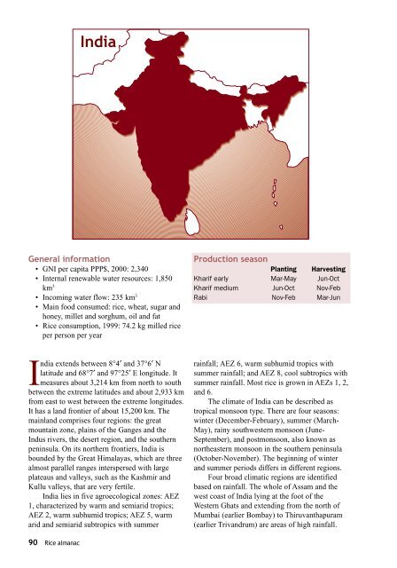
India<br />
Gener<strong>al</strong> in<strong>for</strong>mation<br />
• GNI per capita PPP$, 2000: 2,340<br />
• Intern<strong>al</strong> renewable water re<strong>source</strong>s: 1,850<br />
km 3<br />
• Incoming water flow: 235 km 3<br />
• Main food consumed: rice, wheat, sugar and<br />
honey, mill<strong>et</strong> and sorghum, oil and fat<br />
• <strong>Rice</strong> consumption, 1999: 74.2 kg milled rice<br />
per person per year<br />
Production season<br />
Planting Harvesting<br />
Kharif early Mar-May Jun-Oct<br />
Kharif medium Jun-Oct Nov-Feb<br />
Rabi Nov-Feb Mar-Jun<br />
India extends b<strong>et</strong>ween 8°4′ and 37°6′ N<br />
latitude and 68°7′ and 97°25′ E longitude. It<br />
measures about 3,214 km from north to south<br />
b<strong>et</strong>ween <strong>the</strong> extreme latitudes and about 2,933 km<br />
from east to west b<strong>et</strong>ween <strong>the</strong> extreme longitudes.<br />
It has a land frontier of about 15,200 km. The<br />
mainland comprises four regions: <strong>the</strong> great<br />
mountain zone, plains of <strong>the</strong> Ganges and <strong>the</strong><br />
Indus rivers, <strong>the</strong> desert region, and <strong>the</strong> sou<strong>the</strong>rn<br />
peninsula. On its nor<strong>the</strong>rn frontiers, India is<br />
bounded by <strong>the</strong> Great Him<strong>al</strong>ayas, which are three<br />
<strong>al</strong><strong>most</strong> par<strong>al</strong>lel ranges interspersed with large<br />
plateaus and v<strong>al</strong>leys, such as <strong>the</strong> Kashmir and<br />
Kullu v<strong>al</strong>leys, that are very fertile.<br />
India lies in five agroecologic<strong>al</strong> zones: AEZ<br />
1, characterized by warm and semiarid tropics;<br />
AEZ 2, warm subhumid tropics; AEZ 5, warm<br />
arid and semiarid subtropics with summer<br />
rainf<strong>al</strong>l; AEZ 6, warm subhumid tropics with<br />
summer rainf<strong>al</strong>l; and AEZ 8, cool subtropics with<br />
summer rainf<strong>al</strong>l. Most rice is grown in AEZs 1, 2,<br />
and 6.<br />
The climate of India can be described as<br />
tropic<strong>al</strong> monsoon type. There are four seasons:<br />
winter (December-February), summer (March-<br />
May), rainy southwestern monsoon (June-<br />
September), and postmonsoon, <strong>al</strong>so known as<br />
nor<strong>the</strong>astern monsoon in <strong>the</strong> sou<strong>the</strong>rn peninsula<br />
(October-November). The beginning of winter<br />
and summer periods differs in different regions.<br />
Four broad climatic regions are identified<br />
based on rainf<strong>al</strong>l. The whole of Assam and <strong>the</strong><br />
west coast of India lying at <strong>the</strong> foot of <strong>the</strong><br />
Western Ghats and extending from <strong>the</strong> north of<br />
Mumbai (earlier Bombay) to Thiruvanthapuram<br />
(earlier Trivandrum) are areas of high rainf<strong>al</strong>l.<br />
90 <strong>Rice</strong> <strong>al</strong>manac