PDF 20.134kB - TOBIAS-lib - Universität Tübingen
PDF 20.134kB - TOBIAS-lib - Universität Tübingen
PDF 20.134kB - TOBIAS-lib - Universität Tübingen
Sie wollen auch ein ePaper? Erhöhen Sie die Reichweite Ihrer Titel.
YUMPU macht aus Druck-PDFs automatisch weboptimierte ePaper, die Google liebt.
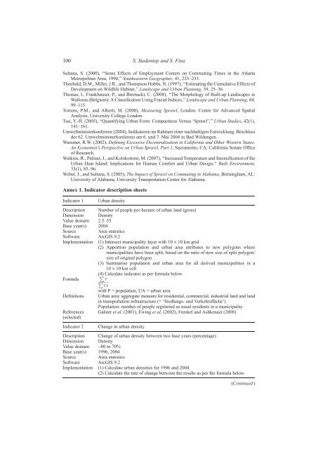
100 S. Siedentop and S. Fina<br />
Sultana, S. (2000), ‘‘Some Effects of Employment Centers on Commuting Times in the Atlanta<br />
Metropolitan Area, 1990,’’ Southeastern Geographer, 41, 225–233.<br />
Theobald, D.M., Miller, J.R., and Thompson Hobbs, N. (1997), ‘‘Estimating the Cumulative Effects of<br />
Development on Wildlife Habitat,’’ Landscape and Urban Planning, 39, 25–36.<br />
Thomas, I., Frankhauser, P., and Biernacki, C. (2008), ‘‘The Morphology of Built-up Landscapes in<br />
Wallonia (Belgium): A Classification Using Fractal Indices,’’ Landscape and Urban Planning, 84,<br />
99–115.<br />
Torrens, P.M., and Alberti, M. (2000), Measuring Sprawl, London: Centre for Advanced Spatial<br />
Analysis, University College London.<br />
Tsai, Y.-H. (2005), ‘‘Quantifying Urban Form: Compactness Versus ‘Sprawl’,’’ Urban Studies, 42(1),<br />
141–161.<br />
Umweltministerkonferenz (2004), Indikatoren im Rahmen einer nachhaltigen Entwicklung, Beschluss<br />
der 62. Umweltministerkonferenz am 6. und 7. Mai 2004 in Bad Wildungen.<br />
Wassmer, R.W. (2002), Defining Excessive Decentralization in California and Other Western States.<br />
An Economist’s Perspective on Urban Sprawl, Part 1, Sacramento, CA: California Senate Office<br />
of Research.<br />
Watkins, R., Palmer, J., and Kolokotroni, M. (2007), ‘‘Increased Temperature and Intensification of the<br />
Urban Heat Island: Implications for Human Comfort and Urban Design,’’ Built Environment,<br />
33(1), 85–96.<br />
Weber, J., and Sultana, S. (2005), The Impact of Sprawl on Commuting in Alabama, Birmingham, AL:<br />
University of Alabama, University Transportation Center for Alabama.<br />
Annex 1. Indicator description sheets<br />
Indicator 1 Urban density<br />
Description Number of people per hectare of urban land (gross)<br />
Dimension Density<br />
Value domain 2.5–55<br />
Base year(s) 2004<br />
Source Area statistics<br />
Software ArcGIS 9.2<br />
Implementation (1) Intersect municipality layer with 10 · 10 km grid<br />
(2) Apportion population and urban area attributes to new polygons where<br />
municipalities have been split, based on the ratio of new size of split polygon/<br />
size of original polygon<br />
(3) Summarise population and urban area for all derived municipalities in a<br />
10 · 10 km cell<br />
(4) PCalculate indicator as per formula below<br />
Formula<br />
P<br />
P<br />
UA<br />
with P = population, UA = urban area<br />
Definitions Urban area: aggregate measure for residential, commercial, industrial land and land<br />
in transportation infrastructure (= ‘Siedlungs- und Verkehrsfläche’)<br />
References<br />
(selected)<br />
Population: number of people registered as usual residents in a municipality<br />
Galster et al. (2001), Ewing et al. (2002), Frenkel and Ashkenazi (2008)<br />
Indicator 2 Change in urban density<br />
Description Change of urban density between two base years (percentage)<br />
Dimension Density<br />
Value domain -80 to 70%<br />
Base year(s) 1996, 2004<br />
Source Area statistics<br />
Software ArcGIS 9.2<br />
Implementation (1) Calculate urban densities for 1996 and 2004<br />
(2) Calculate the rate of change between the results as per the formula below<br />
(Continued )


