Attachment 1-7 - City of Ryde
Attachment 1-7 - City of Ryde
Attachment 1-7 - City of Ryde

Create successful ePaper yourself
Turn your PDF publications into a flip-book with our unique Google optimized e-Paper software.
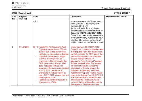
Council <strong>Attachment</strong>s Page 111<br />
ITEM 12 (continued) ATTACHMENT 7<br />
Sub<br />
No.<br />
9<br />
Subject/<br />
Trim Ref<br />
D11/21209<br />
Issue Comments Recommended Action<br />
to R2<br />
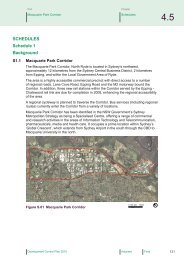
43 – 61 Waterloo Rd Macquarie Park<br />
- Objects to reduction in FSR on<br />
the site due to the site access<br />
network provisions being deleted.<br />
- Objects to reduction in height<br />
over the area indicated as<br />
proposed public park under the<br />
DCP (reduced to 9.5m) - SPA<br />
does not agree with size or<br />
location <strong>of</strong> the park as nominated<br />
in DCP 2010. As such it is<br />
premature to reduce height as<br />
part <strong>of</strong> LEP 2011 as area has not<br />
been agreed upon.<br />
- Proposed amendment results in<br />
down zoning <strong>of</strong> site.<br />
<strong>Attachment</strong> 7 - Council report 24 July 2012 - Draft <strong>Ryde</strong> LEP 2011 - Submissions<br />
rezone any current SP2 land to any<br />
other purpose. This request was<br />
supported by DoPI.<br />
As such Small’s Rd school was<br />
supported by DoPI to revert back to<br />
its zoning <strong>of</strong> SP2 under LEP 2010.<br />
Council has been in discussion with<br />
the State Property Authority as how<br />
best to address their concerns with<br />
respect to the future use <strong>of</strong> the land.<br />
Under clause 4.4B <strong>of</strong> LEP 2010<br />
Council can consent to development<br />
in Macquarie Park that results in an<br />
fsr that exceeds the FSR Map if the<br />
land contains part <strong>of</strong> the proposed<br />
access network shown on<br />
Macquarie Park Corridor Proposed<br />
Access Network Map. The excess<br />
fsr cannot however exceed the<br />
equivalent <strong>of</strong> the site area <strong>of</strong> the<br />
proposed access way. Both the<br />
Accessway Map and related clause<br />
have been deleted from DLEP 2011.<br />
The mechanisms to establish and<br />
implement the infrastructure are<br />
currently being reviewed as part to<br />
the research undertaken on the