City of Pickering Official Plan- Edition 6
City of Pickering Official Plan- Edition 6
City of Pickering Official Plan- Edition 6

Create successful ePaper yourself
Turn your PDF publications into a flip-book with our unique Google optimized e-Paper software.
10.17 <strong>City</strong> Council recognizes that the<br />
Rouge-Duffins Wildlife Corridor is intended<br />
to function as a significant vegetated<br />
connector providing for species migration<br />
between the Rouge and Duffins valley<br />
systems; accordingly, Council shall,<br />
(a) designate the Rouge-Duffins Wildlife<br />
Corridor to increase awareness <strong>of</strong> this<br />
area (see Schedule III), while<br />
recognizing that any interpretation <strong>of</strong> the<br />
boundaries <strong>of</strong> the Open Space System on<br />
Schedule I, through an Environmental<br />
Report, in accordance with section 14.4<br />
<strong>of</strong> this <strong>Plan</strong>, shall result in coincident<br />
interpretation <strong>of</strong> the boundaries <strong>of</strong> the<br />
Corridor shown on Schedule III;<br />
(b) require, where appropriate, that the<br />
recommendations <strong>of</strong> any Environmental<br />
Report required by section 15.9 and the<br />
development guidelines resulting from<br />
section 11.16(b) be implemented;<br />
(c) require that the development guidelines<br />
and Environmental Report(s) referred to<br />
in (b) above address the relationship <strong>of</strong><br />
such matters as appropriate setbacks<br />
and/or buffers, edge management and<br />
stormwater management to the<br />
Rouge-Duffins Wildlife Corridor;<br />
(d) recognize that any uses permissible<br />
within the Open Space System - Natural<br />
Areas designation (see Table 3) are<br />
permissible within the Rouge-Duffins<br />
Wildlife Corridor as identified on<br />
Schedule III;<br />
(e) despite the permissible uses listed in<br />
Table 13, permit utility and ancillary<br />
uses, as well as any uses permissible<br />
within the Open Space System – Natural<br />
Area designation (see Table 3) on lands<br />
designated both Freeways and Major<br />
Utilities – Potential Multi-Use Area on<br />
Schedule I and also Rouge-Duffins<br />
Wildlife Corridor on Schedule III; and<br />
(f) encourage the Ministry <strong>of</strong> Natural<br />
Resources, Toronto & Region<br />
Conservation Authority, Region <strong>of</strong><br />
Durham, Ontario Hydro and interested<br />
others to both prepare a “Rouge-Duffins<br />
Wildlife Corridor Management <strong>Plan</strong>”<br />
and establish funding for on-ongoing<br />
maintenance and restoration <strong>of</strong> the<br />
Corridor.<br />
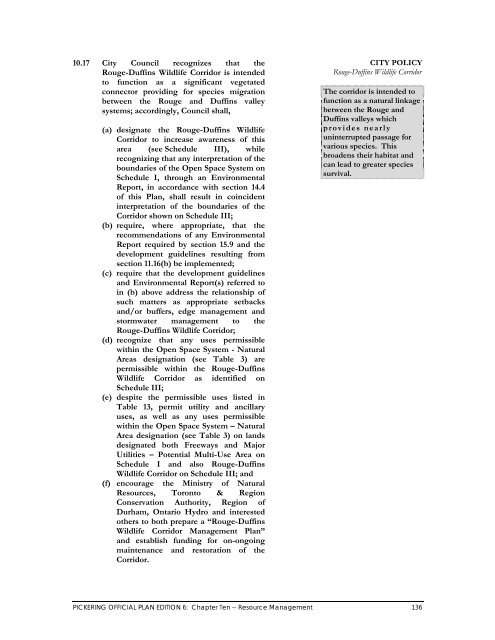
CITY POLICY<br />
Rouge-Duffins Wildlife Corridor<br />
The corridor is intended to<br />
function as a natural linkage<br />
between the Rouge and<br />
Duffins valleys which<br />
provides nearly<br />
uninterrupted passage for<br />
various species. This<br />
broadens their habitat and<br />
can lead to greater species<br />
survival.<br />
PICKERING OFFICIAL PLAN EDITION 6: Chapter Ten -- Resource Management 136