

Maarten van Hoek The Geography of Cup-and-Ring ... - StoneWatch
Maarten van Hoek The Geography of Cup-and-Ring ... - StoneWatch
Maarten van Hoek The Geography of Cup-and-Ring ... - StoneWatch

Create successful ePaper yourself
Turn your PDF publications into a flip-book with our unique Google optimized e-Paper software.
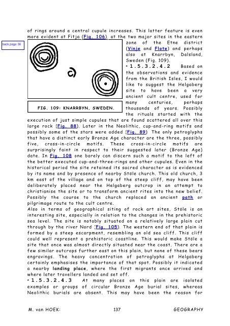
<strong>of</strong> rings around a central cupule increases. This latter feature is even<br />
more evident at Fitja (Fig. 106), at the two major sites in the eastern<br />
zone <strong>of</strong> the Etne district<br />
(Vinje <strong>and</strong> Flote) <strong>and</strong> perhaps<br />
also at Knarrbyn, Dalsl<strong>and</strong>,<br />
Sweden (Fig. 109).<br />
* 1.5.3.2.4.2 Based on<br />
the observations <strong>and</strong> evidence<br />
from the British Isles, I would<br />
like to suggest the Helgaberg<br />
site to have been a very<br />
ancient cult centre, used for<br />
many centuries, perhaps<br />
FIG. 109: KNARRBYN, SWEDEN. thous<strong>and</strong>s <strong>of</strong> years. Possibly<br />
the rituals started with the<br />
execution <strong>of</strong> just simple cupules that are found scattered all over this<br />
large rock (Fig. 88). Later in the Neolithic, cup-<strong>and</strong>-ring motifs <strong>and</strong><br />
possibly some <strong>of</strong> the stars were added (Fig. 89). <strong>The</strong> only petroglyphs<br />
that have a distinct early Bronze Age character are the three, possibly<br />
five, cross-in-circle motifs. <strong>The</strong>se cross-in-circle motifs are<br />
surprisingly faint in respect to their suggested later (Bronze Age)<br />
date. In Fig. 108 one barely can discern such a motif to the left <strong>of</strong><br />
the better executed cup-<strong>and</strong>-three-rings <strong>and</strong> other cupules. Even in the<br />
historical period the site retained its sacred character as is evidenced<br />
by its name <strong>and</strong> by presence <strong>of</strong> nearby Stöle church. This old church, 3<br />
km east <strong>of</strong> the village <strong>and</strong> on top <strong>of</strong> the steep cliff, may have been<br />
deliberately placed near the Helgaberg outcrop in an attempt to<br />
christianise the site or to transform ancient rites into the new belief.<br />
Possibly the course to the church replaced an ancient path or<br />
pilgrimage route to the cult centre.<br />
Also in terms <strong>of</strong> geographical siting <strong>of</strong> rock art sites, Stöle is an<br />
interesting site, especially in relation to the changes in the prehistoric<br />
sea level. <strong>The</strong> site is notably situated on a relatively large plain cut<br />
through by the river Nord (Fig. 105). <strong>The</strong> western end <strong>of</strong> that plain is<br />
formed by a steep escarpment, resembling an old sea cliff. This cliff<br />
could well represent a prehistoric coastline. This would make Stöle a<br />
site that once was almost directly situated near the coast. <strong>The</strong>re are a<br />
few similar outcrops further east on this plain, but none <strong>of</strong> these bears<br />
engravings. <strong>The</strong> heavy concentration <strong>of</strong> petroglyphs at Helgaberg<br />
certainly emphasises the importance <strong>of</strong> that spot. Possibly it indicated<br />
a nearby l<strong>and</strong>ing place, where the first migrants once arrived <strong>and</strong><br />
where later travellers l<strong>and</strong>ed <strong>and</strong> set <strong>of</strong>f.<br />
* 1.5.3.2.4.3 At many places on this plain are isolated<br />
examples or groups <strong>of</strong> circular Bronze Age burial sites, whereas<br />
Neolithic burials are absent. This may have been the reason for<br />
M. <strong>van</strong> HOEK: 137<br />
GEOGRAPHY


