ASi" kUCTURE FlOR DEVELOPMENT
ASi" kUCTURE FlOR DEVELOPMENT
ASi" kUCTURE FlOR DEVELOPMENT

Create successful ePaper yourself
Turn your PDF publications into a flip-book with our unique Google optimized e-Paper software.
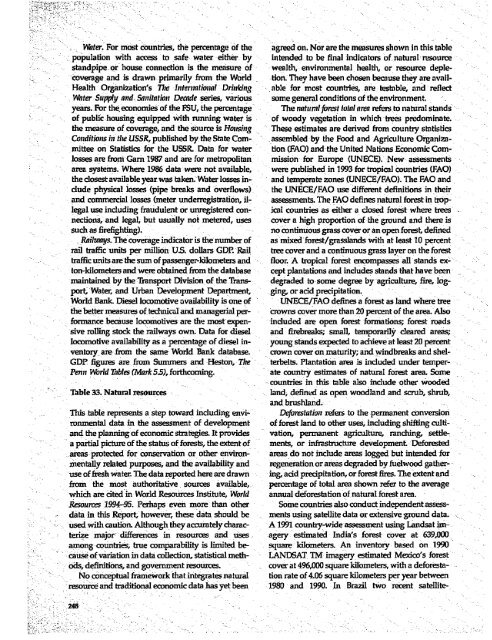
Wnter. For most countries, the percentage of the agreed on. Nor are the measures shown in this table<br />
- - population with access to safe water either by intended to be final indicators of natural resource<br />
standpipe. or house connection is the measure of wealtlh, environmental health, or resource deple-<br />
: coverage and is drawn primarily from tle World tion. They have been chosen because they are avail-<br />
Health Organization's Thec International Drinikinig able for most countries, are testable, and reflect<br />
- -Water Supply and. Sanitationt Decade series, various some general conditions of the environment.<br />
years. For the econornies of the FSU, the percentage The nat(ral forest total area refers to natural stands<br />
of public housing equipped with running water is of woody vegetation in which trees predominate.<br />
the measure of coverage, and the source is Housintg These estimates are derived from country statisiics<br />
Conditions in thie USSR, published by the State Com- assembled by the Food and Agriculture Organiza-<br />
V mittee on Statistics for the USSR Data for water tion (FAO) and the United Nations Economic Comlosses<br />
are frori G(am 1987 and are for metropolitan mission for Europe (UNECE). New assessments<br />
area systems. Where 1986 data were not available, were published in 1993 for tropical countries (FAO)<br />
the dosest available year was taken. Water losses in- and temperate zones (UNECE/FAO). The FAO and<br />
dude physical losses (pipe breaks and overflows) the UNECE/FAO use different definitions in their<br />
and conunercial losses (ineter underregistration, it- assessments. The FAO defines natural forest in troplegal<br />
use including fraudulent or unregistered con- icail countries as either a closed forest where trees<br />
nections, and legal, but usually not metered, uses cover a high proportion of the ground and there is<br />
such as firefighting).<br />
no continuous gMss cover or an open forest, defined<br />
Railuwys. The coverage indicator is the number of as mnixed forest/grasslands with at least 10 percent<br />
rail traffic units per million US. dollars GDP. Rail tree cover and a continuous grass layer on the forest<br />
--. traffic units are thesumofpassenger-kilometers and floor. A tropical forest encompasses all stands ex<br />
ton-lilometers and were obtained from the database cept plantations and includes stands that have been<br />
maintained by the Transport Division of the Trans- degraded to some degree by agriculture, fire, logport,<br />
Wate, and Urban Development Department, gin& or add precipitation.<br />
World Bankl Diesel locomotive availability is one of UNECE/FAQ defines a forest as land where tree<br />
the better measures of technical and managerial per- crowns cover more than 20 percent of the area. Also<br />
formance because locomotives are the most expen- included are open forest formations; forest roads<br />
sive rolling stock the railways own. Data for diesel and firebreaks; small, temporarily cleared areas;<br />
locomotive availability as a percentage of diesel in- young stands expected to achieve at least 20 percent<br />
ventory are from the same World Bank database. crown cover on maturity; and windbreaks and shel-<br />
GDP figures are from Summers and Heston, Th1e terbelts. Plantation area is included under temper-<br />
Penni World Tables (Alrk 55), forthcoming.<br />
ate country estimates of natural forest area. Some<br />
-countries in this table also include other wooded<br />
Table 33. Natural resources<br />
land, defined as open woodland and scrub, shrub,<br />
and brushland.<br />
This table represents a step toward including envi- Deforestation xefers to the permanent conversion<br />
ronmental data in the assessment of development of forest land to other uses, including shifting cultiand<br />
the planning of economic strategies. It provides vation, permanent agriculture, ranching, settlea<br />
partial picture of the status of forests, the extent of ments, or infastructure developmenL Deforested<br />
..areas protected for conservation or other environ- areas do not include areas logged but intended for<br />
-mentally related purposes, and the availability and regeneration or areas degraded by fuelwood gatheruse<br />
of fresh water. The data reported here are drawn ing, add predpitation, or forest fires. The extent and<br />
from the most authoritative sources available, percentage of total area shown refer to the average<br />
which are cited in World Resources Institute, World annual deforestation of natural forest area.<br />
- Resources 1994-95. Perhaps even more than other Some countries also conduct independent assessldata<br />
in this Report, however, these data should be ments using satellite data or extensive ground data.<br />
used with caution. Although they accurately charac- A 1991 country-wide assessment using Landsat imterize<br />
major: differences in resources and uses agery estimated India's forest cover at 639,000.<br />
among countries, true comparability is limited be- square kilometers. An inventory based on 1990<br />
cause of vaination in data collection, statistical meth- LANDSAT TM imagery estimated Mexico's forest<br />
- : X ods, definitions, and government resources. cover at 496,000 square kilometers, with a deforesta-<br />
No conceptual framework that integrates natural tion rate of 4.06 square kilometers per year between<br />
resource and traditional economic data has yet been 1980 and 1990. In Brazil two recent satellite-<br />
248