National Disaster Response Plan (NDRP) March 2010 - NDMA
National Disaster Response Plan (NDRP) March 2010 - NDMA
National Disaster Response Plan (NDRP) March 2010 - NDMA

Create successful ePaper yourself
Turn your PDF publications into a flip-book with our unique Google optimized e-Paper software.
9<br />
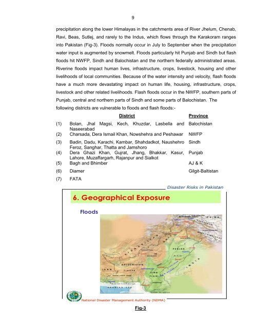
precipitation along the lower Himalayas in the catchments area of River Jhelum, Chenab,<br />
Ravi, Beas, Sutlej, and rarely to the Indus, which flows through the Karakoram ranges<br />
into Pakistan (Fig-3). Floods normally occur in July to September when the precipitation<br />
water input is augmented by snowmelt. Floods particularly hit Punjab and Sindh but flash<br />
floods hit NWFP, Sindh and Balochistan and the northern federally administrated areas.<br />
Riverine floods impact human lives, infrastructure, crops, livestock, housing and other<br />
livelihoods of local communities. Because of the water intensity and velocity, flash floods<br />
have a much more devastating impact on human life, housing, infrastructure, crops,<br />
livestock and other related livelihoods. Flash floods occur in the NWFP, southern parts of<br />
Punjab, central and northern parts of Sindh and some parts of Balochistan. The<br />
following districts are vulnerable to floods and flash floods:-<br />
District Province<br />
(1) Bolan, Jhal Magsi, Kech, Khuzdar, Lasbella and<br />
Naseerabad<br />
Balochistan<br />
(2) Charsada, Dera Ismail Khan, Nowshehra and Peshawar NWFP<br />
(3) Badin, Dadu, Karachi, Kambar, Shahdadkot, Naushehro<br />
Feroz, Sanghar, Thatta and Jamshoro<br />
Sindh<br />
(4) Dera Ghazi Khan, Gujrat, Jhang, Bhakkar, Kasur,<br />
Lahore, Muzaffargarh, Rajanpur and Sialkot<br />
Punjab<br />
(5) Bagh and Bhimber AJ & K<br />
(6) Diamer Gilgit-Baltistan<br />
(7) FATA<br />
6. Geographical Exposure<br />
Floods<br />
<strong>National</strong> <strong>Disaster</strong> Management Authority (<strong>NDMA</strong>)<br />
Fig-3<br />
<strong>Disaster</strong> Risks in Pakistan