27 February 2007 - Ordinary Meeting of Council (pdf. 14MB)
27 February 2007 - Ordinary Meeting of Council (pdf. 14MB)
27 February 2007 - Ordinary Meeting of Council (pdf. 14MB)
You also want an ePaper? Increase the reach of your titles
YUMPU automatically turns print PDFs into web optimized ePapers that Google loves.
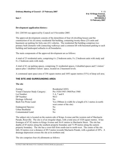
<strong>Ordinary</strong> <strong>Meeting</strong> <strong>of</strong> <strong>Council</strong> - <strong>27</strong> <strong>February</strong> <strong>2007</strong> 1 / 3<br />
9 to 15 Kings Avenue,<br />
Roseville<br />
Item 1<br />
DA1285/04-2<br />
13 <strong>February</strong> <strong>2007</strong><br />
Development application history:<br />
DA 1285/04 was approved by <strong>Council</strong> on 8 November 2005.<br />
The approved development consists <strong>of</strong> the demolition <strong>of</strong> four (4) dwelling houses and the<br />
construction <strong>of</strong> six (6) storey residential flat building, containing twenty-three (23) units and<br />
basement car parking for forty-one (41) vehicles. The residential flat building comprises two<br />
primary built elements with connecting walkways and a common lift with basement parking to each<br />
building and landscaped setbacks to all boundaries.<br />
The main components <strong>of</strong> the approved development are as follows:<br />
A total <strong>of</strong> 23 residential units, comprising 6 x 2 bedroom units, 9 x 2 bedroom units with study and<br />
8 x 3 bedroom units with study.<br />
A total <strong>of</strong> 41 car parking spaces, comprising 31 residential spaces, 4 disabled spaces and 5 visitors’<br />
spaces plus 1 disabled visitors’ space, located on 2 basement levels.<br />
A communal open space area <strong>of</strong> 356 square metres and 1693 square metres (51%) <strong>of</strong> deep soil area.<br />
THE SITE AND SURROUNDING AREA<br />
The site<br />
Zoning:<br />
Residential 2(D3)<br />
Visual Character Study Category: Pre 1920/1945-1968/Post 1968<br />
Lot Number: 5, 6, 7 and 8<br />
DP Number: 9613<br />
Heritage Affected:<br />
No<br />
Bush Fire Prone Land:<br />
Yes (500mm in width for a length <strong>of</strong> 6.1 metres in northwest<br />
corner <strong>of</strong> the site)<br />
Endangered Species:<br />
No<br />
Urban Bushland:<br />
No<br />
Contaminated Land:<br />
No<br />
The subject site is located on the eastern side <strong>of</strong> Kings Avenue and the western end <strong>of</strong> Maclaurin<br />
Parade, Roseville. The site is <strong>of</strong> an irregular shape, with a total area <strong>of</strong> 3320 square metres. It has<br />
frontages <strong>of</strong> 67.82 metres to Kings Avenue and 36.41 metres to Maclaurin Street. The site has<br />
depths <strong>of</strong> 45 metres along the southern property boundary and 71.99 metres along the eastern<br />
property boundary. The site has a cross-fall from south-east to north-west. The centre <strong>of</strong> the site<br />
falls 10 metres over a distance <strong>of</strong> 49.5 metres towards Maclaurin Parade, with a gradient <strong>of</strong> 20%. A<br />
drainage depression crosses the site at its northern end.<br />
The site comprises four (4) allotments as follows:<br />
N:\0702<strong>27</strong>-OMC-PR-03642-9 TO 15 KINGS AVENUE ROSE.doc/pdonnelly/3


