Northeast Subsistence-Settlement Change: A.D. 700 –1300
Northeast Subsistence-Settlement Change: A.D. 700 –1300
Northeast Subsistence-Settlement Change: A.D. 700 –1300
Create successful ePaper yourself
Turn your PDF publications into a flip-book with our unique Google optimized e-Paper software.
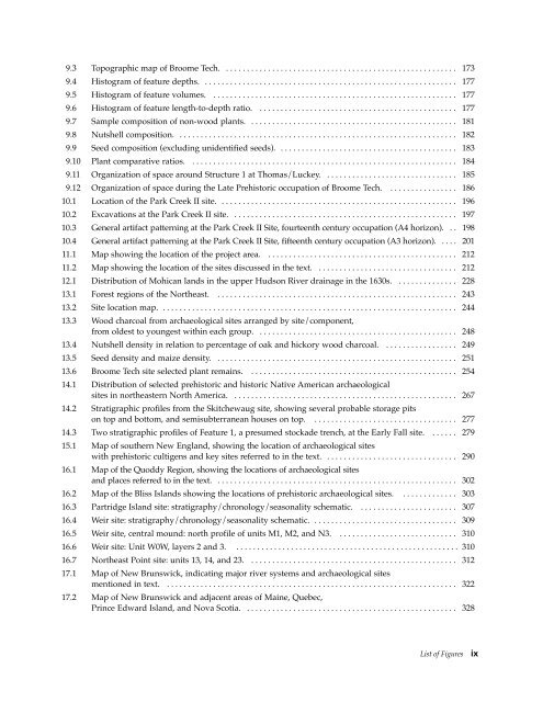
9.3 Topographic map of Broome Tech. . . . . . . . . . . . . . . . . . . . . . . . . . . . . . . . . . . . . . . . . . . . . . . . . . . . . . . . 173<br />
9.4 Histogram of feature depths. . . . . . . . . . . . . . . . . . . . . . . . . . . . . . . . . . . . . . . . . . . . . . . . . . . . . . . . . . . . . 177<br />
9.5 Histogram of feature volumes. . . . . . . . . . . . . . . . . . . . . . . . . . . . . . . . . . . . . . . . . . . . . . . . . . . . . . . . . . . 177<br />
9.6 Histogram of feature length-to-depth ratio. . . . . . . . . . . . . . . . . . . . . . . . . . . . . . . . . . . . . . . . . . . . . . . . 177<br />
9.7 Sample composition of non-wood plants. . . . . . . . . . . . . . . . . . . . . . . . . . . . . . . . . . . . . . . . . . . . . . . . . . 181<br />
9.8 Nutshell composition. . . . . . . . . . . . . . . . . . . . . . . . . . . . . . . . . . . . . . . . . . . . . . . . . . . . . . . . . . . . . . . . . . . 182<br />
9.9 Seed composition (excluding unidentified seeds). . . . . . . . . . . . . . . . . . . . . . . . . . . . . . . . . . . . . . . . . . . 183<br />
9.10 Plant comparative ratios. . . . . . . . . . . . . . . . . . . . . . . . . . . . . . . . . . . . . . . . . . . . . . . . . . . . . . . . . . . . . . . . 184<br />
9.11 Organization of space around Structure 1 at Thomas/Luckey. . . . . . . . . . . . . . . . . . . . . . . . . . . . . . . . 185<br />
9.12 Organization of space during the Late Prehistoric occupation of Broome Tech. . . . . . . . . . . . . . . . . 186<br />
10.1 Location of the Park Creek II site. . . . . . . . . . . . . . . . . . . . . . . . . . . . . . . . . . . . . . . . . . . . . . . . . . . . . . . . . 196<br />
10.2 Excavations at the Park Creek II site. . . . . . . . . . . . . . . . . . . . . . . . . . . . . . . . . . . . . . . . . . . . . . . . . . . . . . 197<br />
10.3 General artifact patterning at the Park Creek II Site, fourteenth century occupation (A4 horizon). . . 198<br />
10.4 General artifact patterning at the Park Creek II Site, fifteenth century occupation (A3 horizon). . . . . 201<br />
11.1 Map showing the location of the project area. . . . . . . . . . . . . . . . . . . . . . . . . . . . . . . . . . . . . . . . . . . . . . 212<br />
11.2 Map showing the location of the sites discussed in the text. . . . . . . . . . . . . . . . . . . . . . . . . . . . . . . . . . 212<br />
12.1 Distribution of Mohican lands in the upper Hudson River drainage in the 1630s. . . . . . . . . . . . . . . 228<br />
13.1 Forest regions of the <strong>Northeast</strong>. . . . . . . . . . . . . . . . . . . . . . . . . . . . . . . . . . . . . . . . . . . . . . . . . . . . . . . . . . 243<br />
13.2 Site location map. . . . . . . . . . . . . . . . . . . . . . . . . . . . . . . . . . . . . . . . . . . . . . . . . . . . . . . . . . . . . . . . . . . . . . . 244<br />
13.3 Wood charcoal from archaeological sites arranged by site/component,<br />
from oldest to youngest within each group. . . . . . . . . . . . . . . . . . . . . . . . . . . . . . . . . . . . . . . . . . . . . . . . 248<br />
13.4 Nutshell density in relation to percentage of oak and hickory wood charcoal. . . . . . . . . . . . . . . . . . 249<br />
13.5 Seed density and maize density. . . . . . . . . . . . . . . . . . . . . . . . . . . . . . . . . . . . . . . . . . . . . . . . . . . . . . . . . . 251<br />
13.6 Broome Tech site selected plant remains. . . . . . . . . . . . . . . . . . . . . . . . . . . . . . . . . . . . . . . . . . . . . . . . . . 254<br />
14.1 Distribution of selected prehistoric and historic Native American archaeological<br />
sites in northeastern North America. . . . . . . . . . . . . . . . . . . . . . . . . . . . . . . . . . . . . . . . . . . . . . . . . . . . . . 267<br />
14.2 Stratigraphic profiles from the Skitchewaug site, showing several probable storage pits<br />
on top and bottom, and semisubterranean houses on top. . . . . . . . . . . . . . . . . . . . . . . . . . . . . . . . . . . 277<br />
14.3 Two stratigraphic profiles of Feature 1, a presumed stockade trench, at the Early Fall site. . . . . . . 279<br />
15.1 Map of southern New England, showing the location of archaeological sites<br />
with prehistoric cultigens and key sites referred to in the text. . . . . . . . . . . . . . . . . . . . . . . . . . . . . . . . 290<br />
16.1 Map of the Quoddy Region, showing the locations of archaeological sites<br />
and places referred to in the text. . . . . . . . . . . . . . . . . . . . . . . . . . . . . . . . . . . . . . . . . . . . . . . . . . . . . . . . . . 302<br />
16.2 Map of the Bliss Islands showing the locations of prehistoric archaeological sites. . . . . . . . . . . . . . 303<br />
16.3 Partridge Island site: stratigraphy/chronology/seasonality schematic. . . . . . . . . . . . . . . . . . . . . . . . 307<br />
16.4 Weir site: stratigraphy/chronology/seasonality schematic. . . . . . . . . . . . . . . . . . . . . . . . . . . . . . . . . . . 309<br />
16.5 Weir site, central mound: north profile of units M1, M2, and N3. . . . . . . . . . . . . . . . . . . . . . . . . . . . . 310<br />
16.6 Weir site: Unit W0W, layers 2 and 3. . . . . . . . . . . . . . . . . . . . . . . . . . . . . . . . . . . . . . . . . . . . . . . . . . . . . . 310<br />
16.7 <strong>Northeast</strong> Point site: units 13, 14, and 23. . . . . . . . . . . . . . . . . . . . . . . . . . . . . . . . . . . . . . . . . . . . . . . . . . 312<br />
17.1 Map of New Brunswick, indicating major river systems and archaeological sites<br />
mentioned in text. . . . . . . . . . . . . . . . . . . . . . . . . . . . . . . . . . . . . . . . . . . . . . . . . . . . . . . . . . . . . . . . . . . . . . 322<br />
17.2 Map of New Brunswick and adjacent areas of Maine, Quebec,<br />
Prince Edward Island, and Nova Scotia. . . . . . . . . . . . . . . . . . . . . . . . . . . . . . . . . . . . . . . . . . . . . . . . . . . 328<br />
List of Figures<br />
ix


